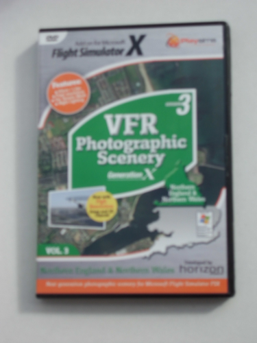
VFR Photographic Scenery Generation X for FSX replaces the defaultscenery in FSX with real aerial photography and terrain data, providing youwith a highly realistic, accurate & detailed immersive world. Usingreal aerial photography for scenery means that the views you see from yourvirtual cockpit are literally transformed into the real thing - you see exactlywhat the pilots of the survey aircraft saw when they acquired the aerialphotography. VFR Photographic Scenery Version 3 for FSX gives youunsurpassed photographic detail at 1.2m/pixel detail with terrain mesh at 5mwhich replaces your default scenery. This new Version 3 provides anadditional 10 high resolution areas at a remarkable 60cm/pixelcovering:
Caernarfon
Conwy
Darlington
Doncaster
Gainsborough
Hartlepool
HullLincoln
Liverpool
York
To complement these new areas, this volume also includes custom 3Dmodels of significant landmarks of
Britannia Bridge
Conwy Castle
Hartlepool Lighthouse
Humber Bridge
Menai Bridge
Silver Jubilee Bridge
Tyne Bridge
Tyne Millenium Bridge
Tyne QEII Metro Bridge
Tyne Swing Bridge
Unparalleled Terrain detail:
With a 5m terrain mesh data from Getmapping's latest aerial surveys, VFR Generation X gives users minute topographic detail that shows every lump and bump - all fully correlated to provide the perfect fit with the aerial photography, adding dramatically to the immersion that this synthetic environment provides.
Ultra High-Definition Photographic Scenery:
With this volume you can expect ultra-high definition resolution for the entire area.The resolution has been set to 1/2m/pixels with 0.60cm selected towns and cities and additional 3D bridges and buildings. The end result is smooth frame rates with exacting detail for your VFR flights.
NEW Hand Edited Night Lighting:
New advanced techniques have been used to generate a highly realistic night scenery for the entire coverage area.
Spectacular Water Effects:
The water bodies have been designed to retain the natural water colours shown by the aerial photography as far as possible, again adding to the scenery's immersion. In addition, they will provide a moving, reflective surface that will allow float aircraft operations, and will even let you see through to sub-surface features like sand bars and underwater channels.
Compatibility with UK2000:
To ensure compatibility with other content for England & Wales, Horizon has been coordinating efforts with the talented scenery designers from UK2000 and Gary Summons, who have been busy re-positioning existing content, and adding further 3D objects and greater detail to their already outstanding sceneries.
Enhanced Performance:
Smooth frame rates with crisp, sharp photographic scenery - VFR Generation X has been specifically designed to optimise performance and reduce the effects of blurry scenery textures, even on lower spec. systems.
Coverage:
The coverage extends from Latitude 53.086N (a line running East to West across the country parallel with Wrexham), as far North as the Scottish border.


 GLB Flight Products Ltd